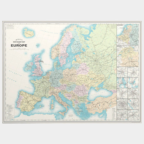
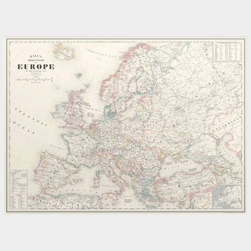
This unique map of the present-day railway network in Europe (as of January 2024) is an original, digitally-rendered design inspired by vintage maps.
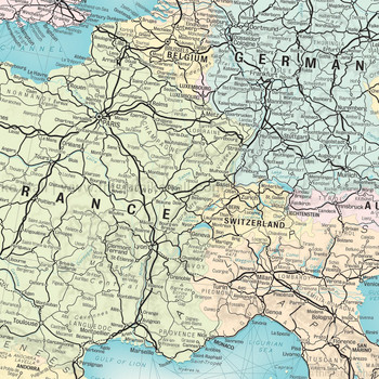
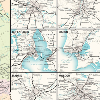
Designed in a retro mid-20th century style, Mike Hall's map shows all the major intercity lines as well as most regional lines across the entire continent including Turkey. It also features enlargements of two densely-populated regions (the Low Countries and Western Germany plus Switzerland and Northern Italy), and ten capital cities including Berlin, Madrid, Paris, Rome and Vienna.
Each type of railway is represented by a variety of stroke widths and styles, graduating from the thickest (high speed lines) to the thinnest (light rail and narrow gauge lines). Major towns and cities are marked by circles, with larger circles representing important interchanges. Ferry routes between important ports connected to the rail network are also shown.
Please note that some lines have been deliberately omitted due to scale constraints.
The design is finished with a simple, elegant border and title box with a scale bar.
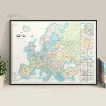
High quality digital giclée print on 230gsm archival paper in A1. Signed in pencil by the artist, with a stamp of authenticity on the rear.
Sold unframed.

