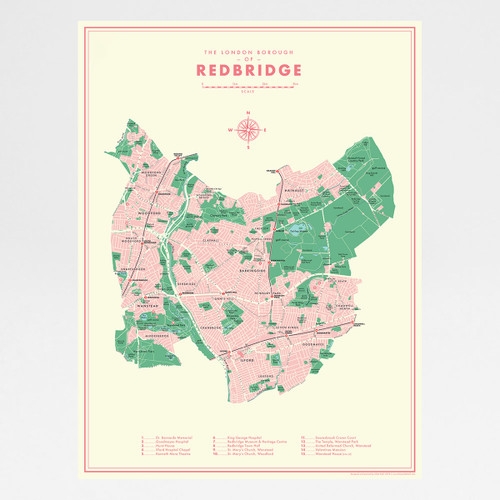
In this series of maps Mike Hall takes his inspiration from 1950s and 1960s graphic design. The retro styling of this high quality giclée is updated with the modern map.
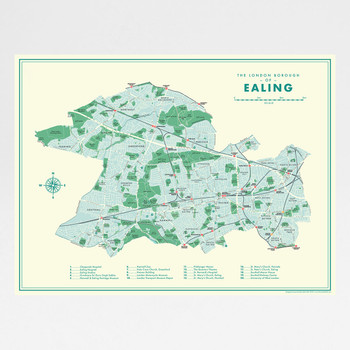
The design features a simple decoration scheme with notable landmarks (pinpointed with numbered circles on the map) listed alphanumerically to one side.
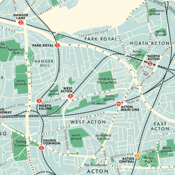
All local railway and London Underground stations are marked, and districts covered by the map include Acton Central, Bedford Park, Dormers Wells, Drayton Green, Ealing Broadway, Ealing Common, East Acton, Greenford, Hanger Hill, Hanwell, Montpelier, North Acton, North Ealing, Northfields, Northolt, Park Royal, Perivale, Pitshanger, South Acton, South Ealing, Southall, West Acton and West Ealing.
Unique digitally-rendered artwork. High quality digital print on archival paper. Signed in pencil by the artist, with stamp of authenticity.
This print fits in a 300mm x 400mm Frame.


